
Cherry Hill Township Neighbors by Block
Public sources describe different parts of a block. The map establishes parcel context. Assessment and Clerk records can place owners or recorded parties at a property. The voter list has statutory public fields and protections. Civic sources can show public community contacts, not a membership roll. Use the source that matches the question, and do not turn a property record into a claim about every person who lives nearby.
| Source | What It Shows About a Block | Access |
|---|---|---|
| Cherry Hill Public Information Map | Parcel outlines, tax-map context, streets, amenities, and visible layers | Public map; exact popup and adjacency controls need visual confirmation |
| Camden Board mapping | Specific property, land details, general mapping, and a 200-foot-list route | Public description; 200-foot lists are not the same as GIS adjacency |
| Camden assessment hub | Assessment, owner, and sales data for a parcel search | Public route; exact live filters were not verified |
| Camden Clerk index | Recorded parties and instruments connected to legal descriptions | Online from 1978 forward; older work needs office or archive access |
| Public voter list | Street-arranged public voter fields permitted by statute | Protected addresses and identifiers are excluded |
| Civic material | Public event, issue, and contact context for named groups | No complete association roster or membership directory was found |
At any nearby property, an assessed owner, a deed party, a voter, and an occupant are separate categories. A property may be held by an estate, trust, entity, or multiple people. A mailing address can be a correspondence address. Keep those roles separate in notes.
Cherry Hill Township Parcel Map Context
The Cherry Hill Public Information Map is the starting point for the block around one address. Township materials describe a public, township-wide viewer with tax maps, parks, playgrounds, schools, and other amenities. The available research did not capture the live labels for address syntax, parcel popups, buffer tools, or export controls. Use only the visible controls on the current screen and note the map date or version when one is shown.
The public information map provides the tax-map and surrounding-parcel view used to place the block in its geographic context.
Compare parcel lines, road labels, and the adjoining shapes shown on the map before checking any owner or recorded-party record. The screen does not establish occupancy by itself.
Cherry Hill's 2026 GIS tax-map procurement describes five key maps, about 238 plates, and about 26,993 parcel or line items maintained to reflect 2025 conditions. That scale is a reason to record the map date, not a claim that every map feature is searchable online.
Map a Cherry Hill Township Block
Use an adjacent-parcel flow that preserves the difference between geography and identity. The township confirms the public map and tax-map function, but the research did not verify a dedicated adjacent-select or radius button. Zoom and pan are the supported way to compare the subject parcel with the parcels that visibly touch it. Then carry each parcel identifier to the next official source.
- Find the street address or block and lot in the Public Information Map. Record the road name, map date, parcel label, and any qualifier shown.
- Zoom and pan to the parcels sharing a boundary or immediately facing the property. Copy each parcel identifier before leaving the map.
- Check the identifier in the assessment and Clerk routes. Record whether a name is an assessed owner, a mailing contact if displayed, or a recorded party.
- For a dated question, compare a deed's legal description and recording date with the map. For an entire named street, use the Cherry Hill Township street directory approach instead of treating this short block view as a full street roll.
Do not equate the County Board's 200-foot-list description with a map's adjoining parcels. They may have different purposes, dates, and delivery methods.
Assessment Checks for Cherry Hill Township Neighbors
The County Board of Taxation says its assessment search hub provides assessment, owner, and sales data. It also describes mapping for land details, specific properties, and 200-foot lists. The exact field labels for the hub were not exposed in the research, so do not assume it supports a particular owner, street, or sales filter. Where a change is needed, the stated route is a written request through the municipal assessor.
The Camden County assessment hub is the official landing route for the assessment, owner, and sales categories used in a neighbor lookup.
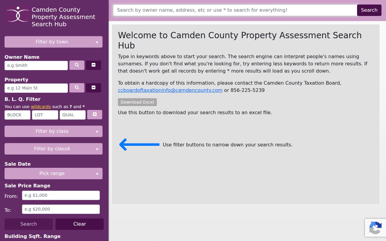
Use the assessment result as parcel context, then compare it with a map date and recorded instrument. It does not prove that the named owner is an occupant of the parcel.
For recorded-property confirmation, the Camden County Clerk index has online coverage from 1978 forward and receives nightly updates. Match a party to the municipality, block and lot, legal description, recording date, and adjacent instruments. The older path is the county office, New Jersey State Archives, or Camden County Historical Society, not a claim that the modern index reaches back to the first county deeds.
Note: A deed shows a recorded role in an instrument, not a complete title opinion or a current household list.
Voter Lists and Cherry Hill Township Neighbors
N.J.S.A. 19:31-18 describes a public certified voter list arranged by street, residence number, and name. Its listed public fields are name, address, date of birth, political-party affiliation, and voting history. It does not reveal ballot choices, and signatures are excluded unless a court orders otherwise. The official New Jersey registration check remains the online route, although the research could not capture its live field labels.
Protected voters may omit a street address, and other identifiers in the statewide voter system are not automatically public. This makes a voter record a limited, statute-bound source, not a substitute for the parcel map. For local procedure or current forms, use Camden County Voting and Elections.
Note: Check the live state registration screen because its exact search fields were not captured in the research.
Civic Routes Near Cherry Hill Township Neighbors
Official township material names several civic associations, but it does not publish a comprehensive association directory, boundary map, leadership list, or membership list. Those names are useful for public community context only. They are not evidence that a specific person lives in the area or belongs to a group.
| Public civic route | Confirmed connection | Safe use |
|---|---|---|
| Barclay Farm Civic Association | Named in official township material | Look for public issue or event context, not a member list |
| Cherry Valley and Peppermill Farms civic associations | Named in official township material | Use the town's public route for current community contact |
| Lakeview Civic Association | Named in township traffic and Arbor Day material | Do not infer residence or boundaries from a group name |
| Council of Cherry Hill Civic Associations | Appears in official planning and meeting material | Use public meeting context only |
The Cherry Hill Community Response page says several neighborhood and civic groups partner with police and may request a Community Response Unit officer. The listed contact is 856-488-7813. It is the documented civic contact route when a neighborhood concern needs the township, not a route to private resident information.
The Community Response page is the official source for the civic partnership route around the block.
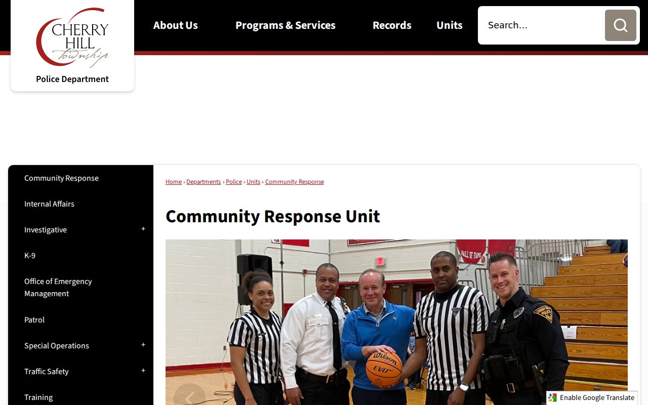
The source supports public community contact and partnership information. It does not show a complete neighborhood roster or identify who lives at a particular address.
Past Cherry Hill Township Neighbors
Historic blocks need historical terms. Delaware Township became Cherry Hill in 1961, so an older deed, map, directory, or newspaper may use the former name. Search the road, village, or nearby intersection with both township names. CCHS holds owner-labeled maps and atlases from 1856, 1877, 1886, 1902, and 1907, plus Sanborn maps from 1913 to 1925 and Atlas Directory material for 1926-27 and 1935.
Those sources can identify a past landowner, road, building use, or household context at a dated point. They cannot establish who lives there now. Compare the historic map plate with the current block and lot rather than silently converting an old road label into a modern address.
Note: Cherry Hill Township neighborhood names are useful search vocabulary, but the source set does not establish legal boundaries for each name.
Neighbor Sources Compared in Cherry Hill Township
Official records and commercial neighbor profiles serve different purposes. Official sources let a reader check a dated parcel, recorded instrument, statute-bound voter field, or public civic record at its custodian. Commercial profiles often compile public and purchased data, may be stale or wrong, and can combine different people with the same name. A primary record should remain the basis for any conclusion.
| Source category | What it can support | Limit to keep in mind |
|---|---|---|
| Official parcel, assessment, and Clerk records | Dated property and recorded-party context tied to a parcel or legal description | Does not prove present occupancy or identify every household member |
| Statute-bound voter material | Public fields available under New Jersey election law | Protected addresses, signatures, and sensitive identifiers remain limited |
| Commercial profile category | Possible starting names or old address leads | Variable update quality, same-name errors, and no substitute for the custodian record |
Privacy Limits for Cherry Hill Township Neighbors
Not all relationships to a block are public. Parcel material does not guarantee that every occupant or household member appears. The research did not locate public utility or delivery-customer lists. Daniel's Law can suppress covered home addresses and unpublished telephone numbers, while the Address Confidentiality Program provides a substitute address for qualifying participants. A protected or redacted field should remain protected.
Lawful use. Use block-record information for personal, lawful research, civic context, and source checking. Public records do not permit stalking, harassment, intimidation, or repeated tracking of any person.
For a municipal record that is not online, use a precise request through the Cherry Hill OPRA custodian, with the record type, department, and date range. Expect redactions where New Jersey law requires them. Preserve what each source actually says rather than filling private gaps from outside data.